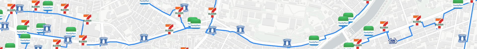
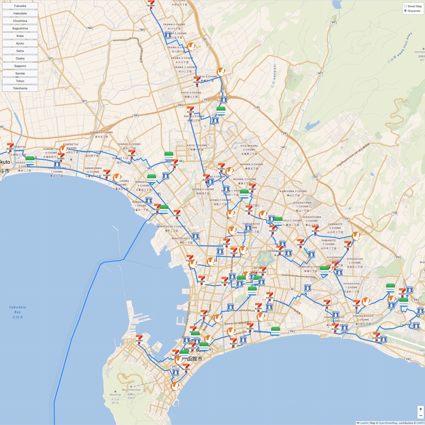
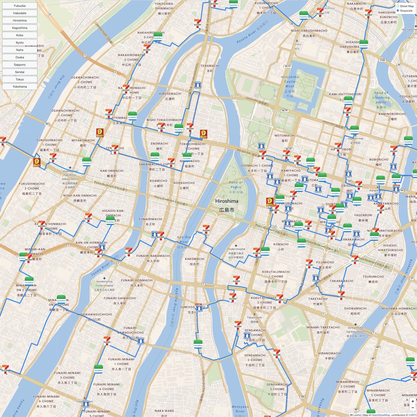
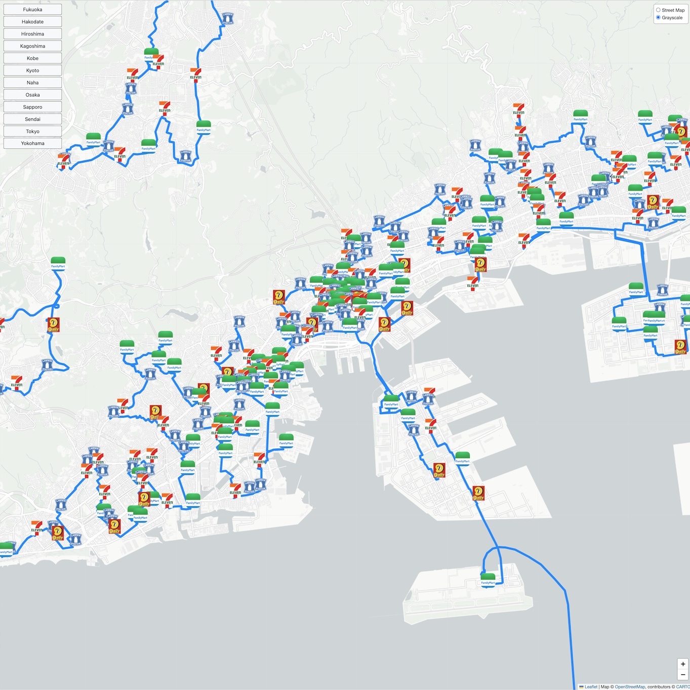
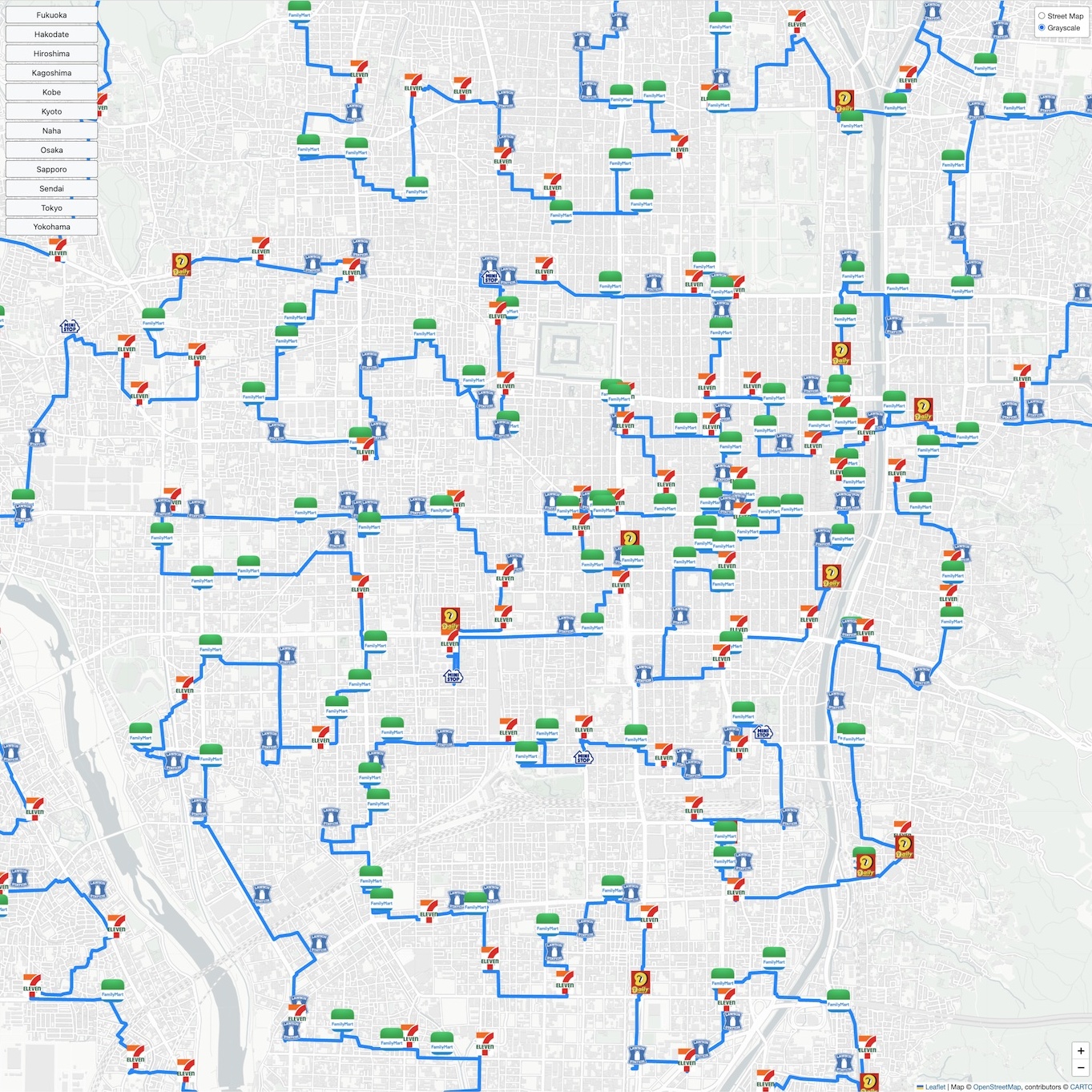
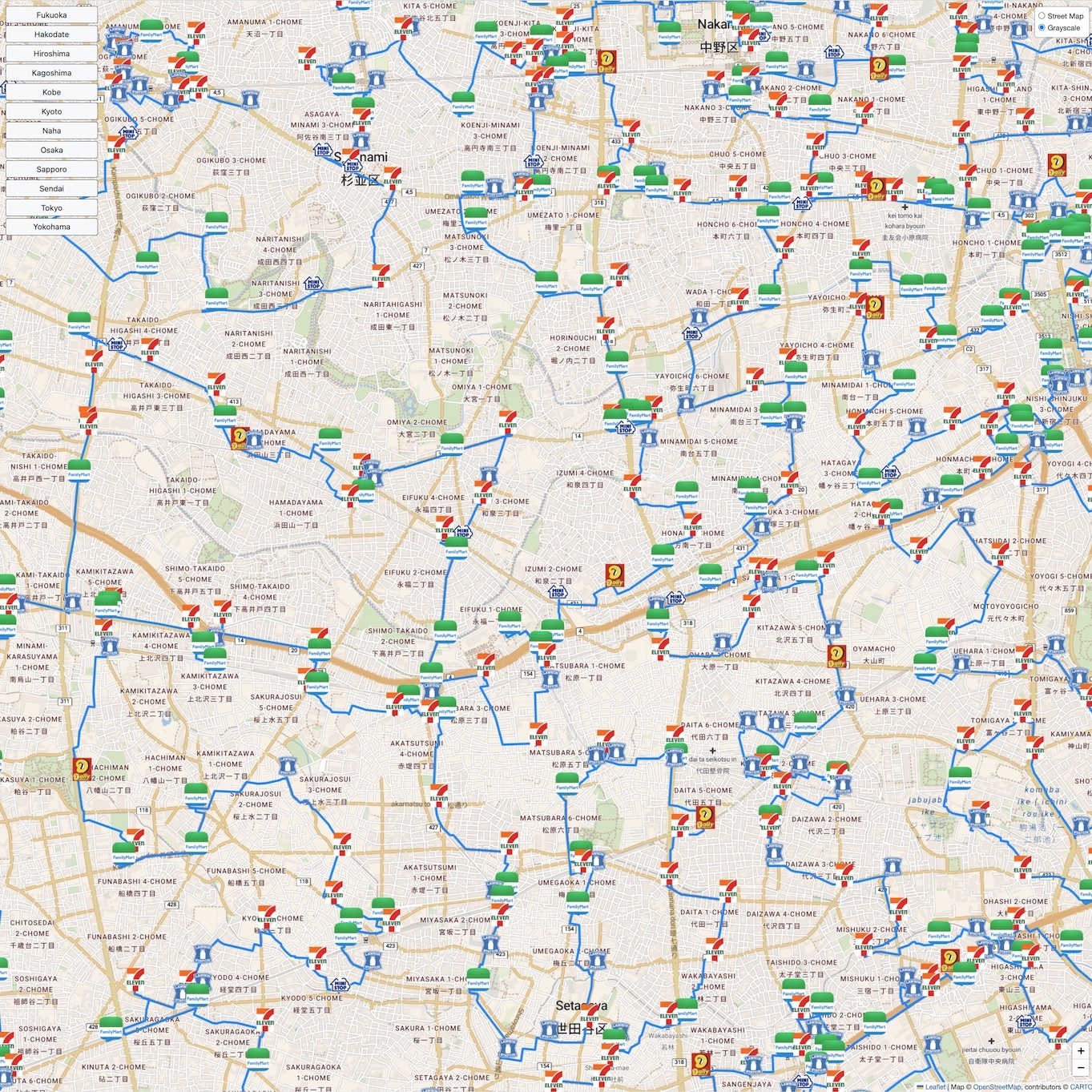
You can get a feeling for the complexity of the optimal tour by examining how it passes along small roads and paths to visit neighborhood shops. To allow this, without the considerable lag time when navigating the full-tour map, we created an interactive map that contains only regions around a number of Japanese cities.
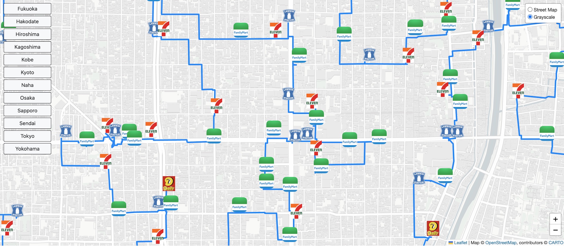
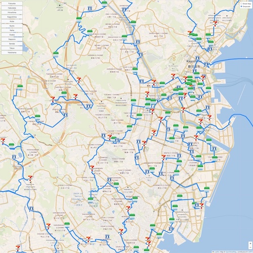
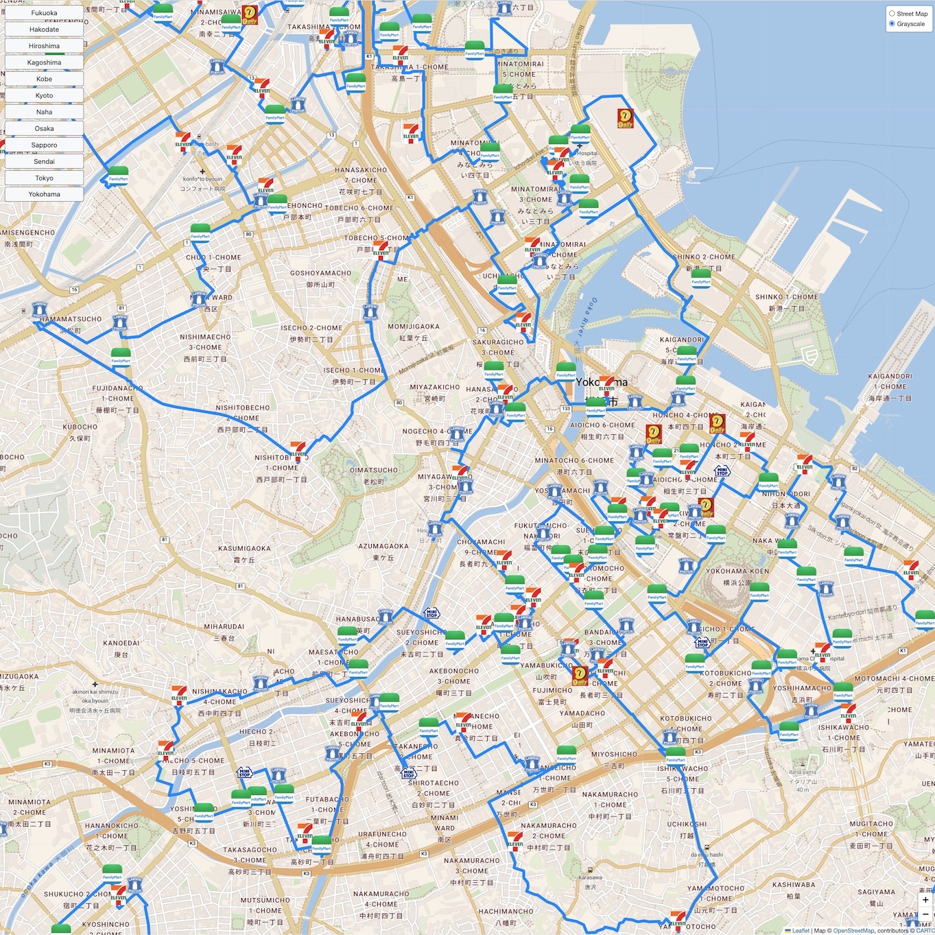
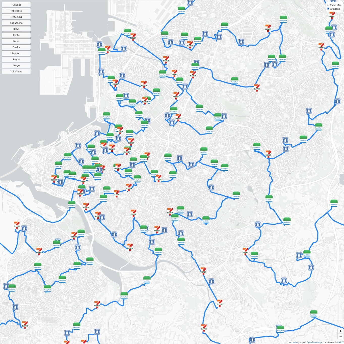
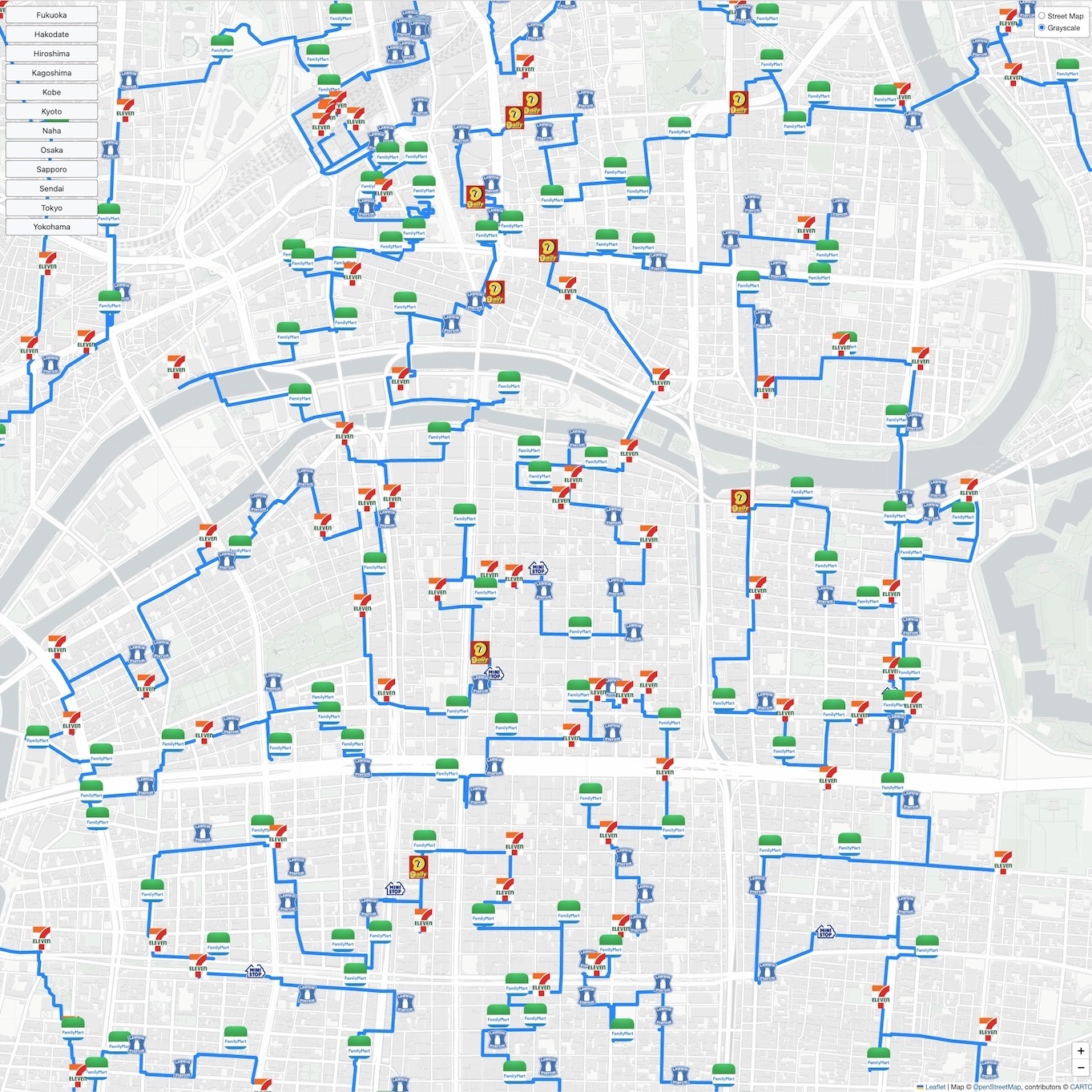
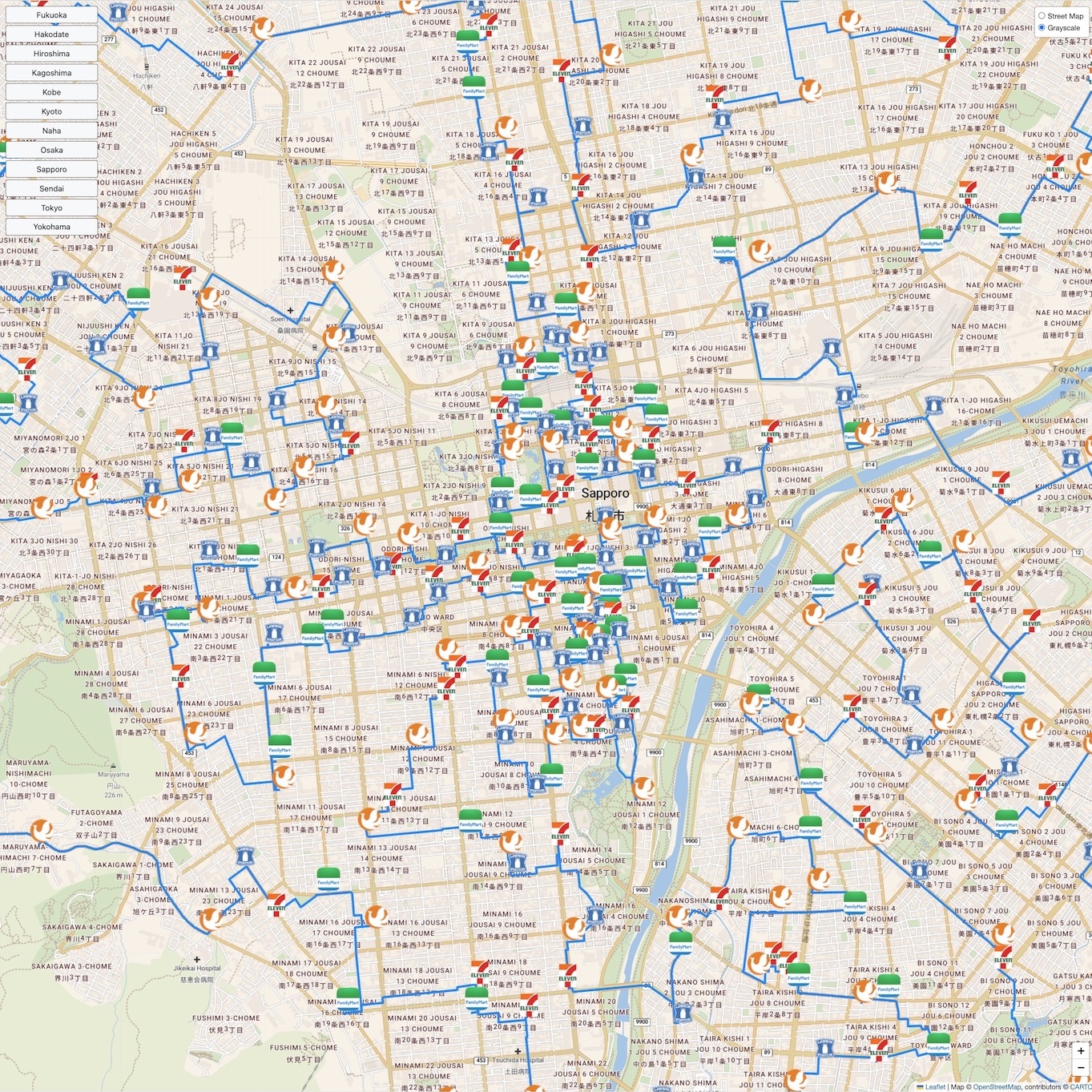
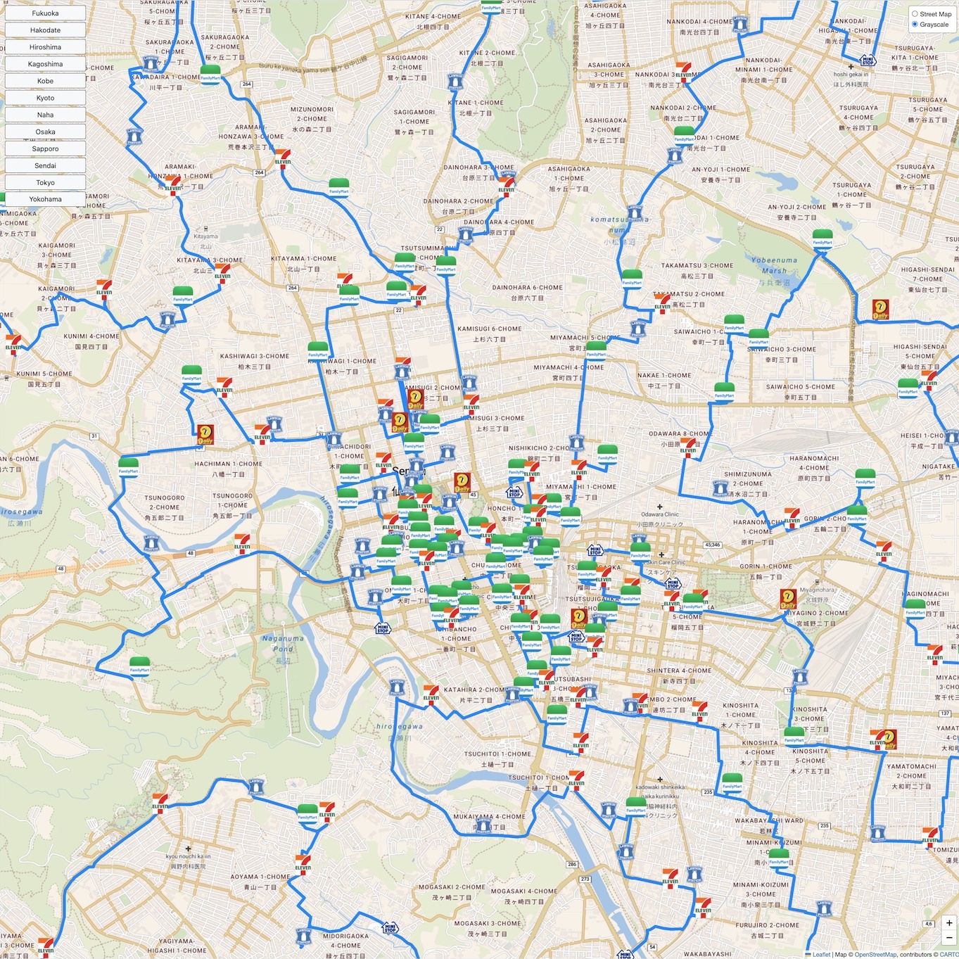
The figure below is a screen shot of the map. The menu on the left-hand-side lets you select one of twelve cities to view. At the top right-hand-side you can choose to have either a colored street map or a grayscale map without street labels. The store logos show the stops of the tour. Note that you may see several paths, since the tour can enter and leave the city region a number of times. You can view the map by clicking on the image.
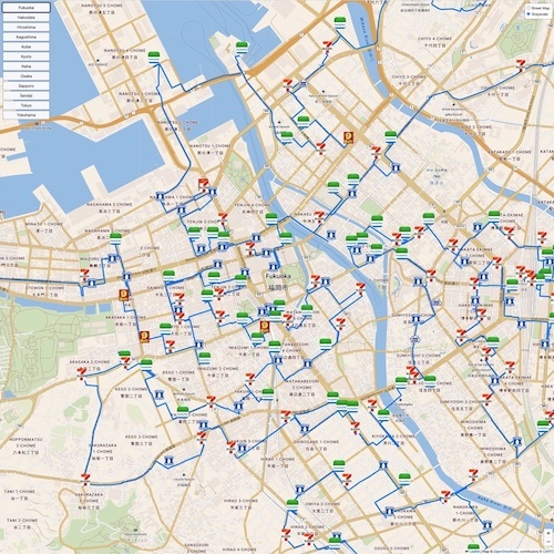
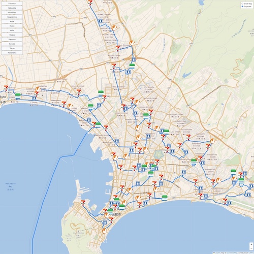
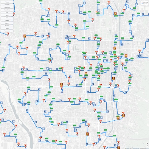
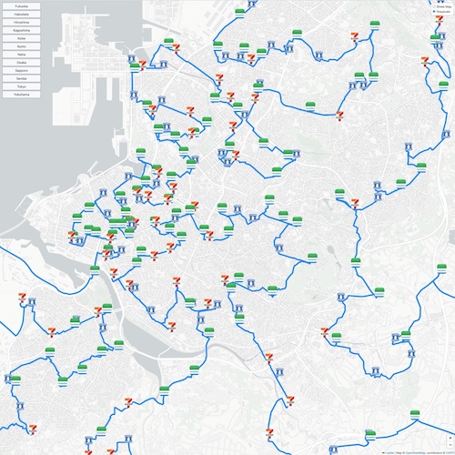
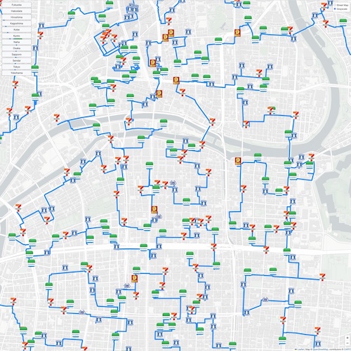
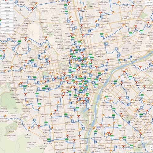
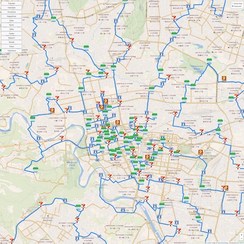
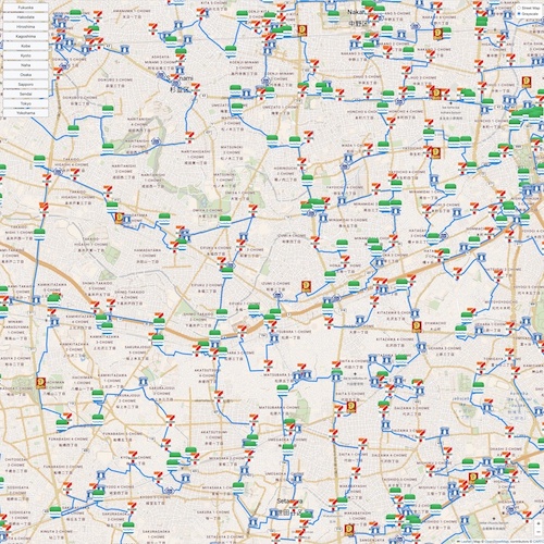
If you have trouble viewing the map, here are screen shots of the twelve city-views. Click on the images to see higher-resolution versions.
The tour map-drawings were created with the Leaflet open-source JavaScript library for mobile-friendly interactive maps and make use of map tiles built by OpenStreetMap, by Carto Basemaps and by Stadia Maps.

