The shortest-possible route to the 49,687 pubs has total length 63,739,687 meters, or roughly 39,606 miles. That is 40% longer than the 2016 tour. Not a bad price for hitting twice as many pubs. The full route is nearly a sixth of the distance to the moon.
There are many dense portions of the tour, where you can shout from one pub to the next. But four of the legs are each over 100 kilometers, including long ferry rides. The top two are trips to and from the Shetland Islands, followed by the journey from Douglas, on the Isle of Man, over to Belfast, and a trip from Heysham in England over to Douglas.
Viewing the geometry of the tour is the best way to get a feel for both the route and its complexity. But if you are planning to walk a few legs, or you want to check the position of your local public house, here is the order of the pubs as a text file.
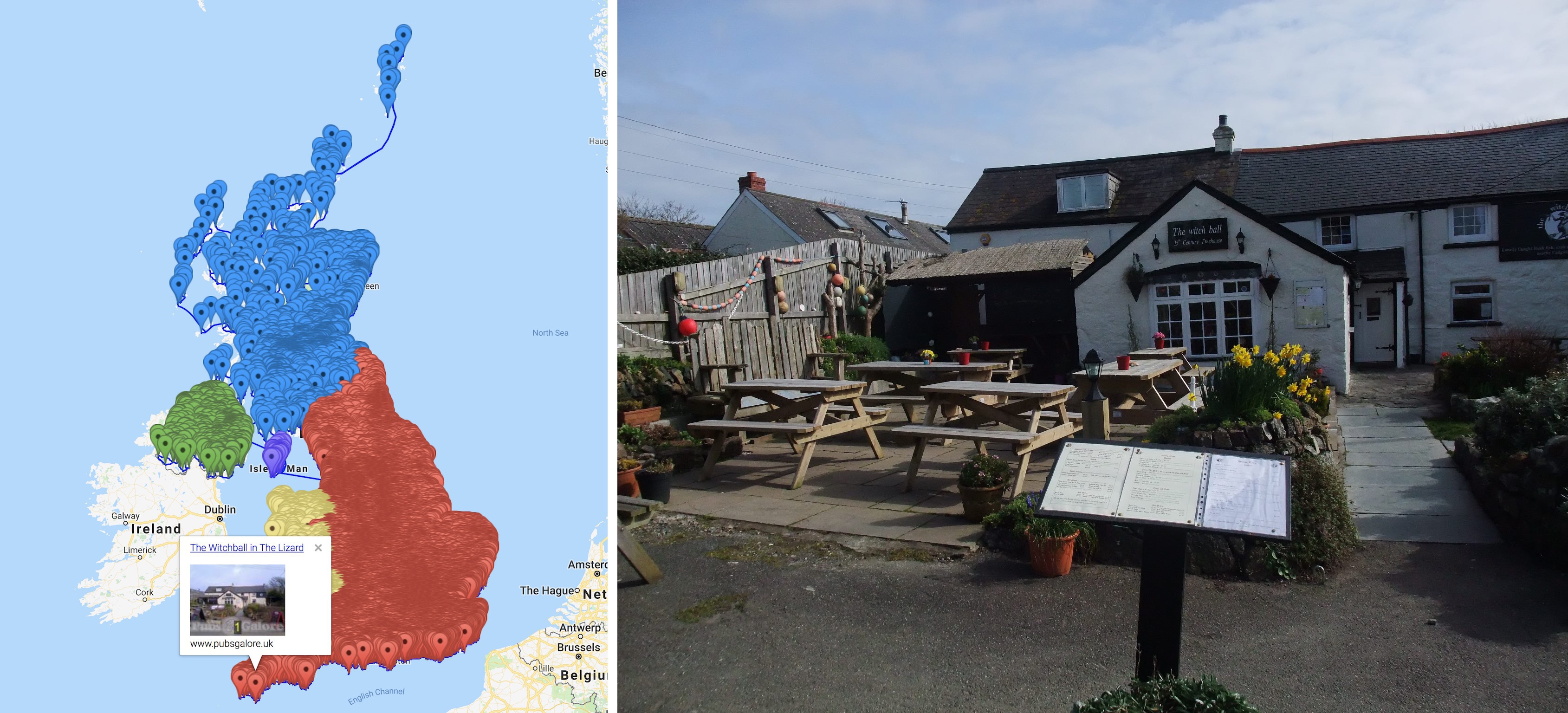
A beauty of a traveling salesman tour is that it returns to the starting point. The route is circular. A traveler can start at any point in a journey to see all 49,687 pubs. In our list, the 1st pub is the Witchball in Cornwall, England. Their web page reads "Welcome to the Witchball, the most southerly Pub in mainland Britain". You want to head over there on a Friday for fresh local fish prepared by chef Mitch Chandler.
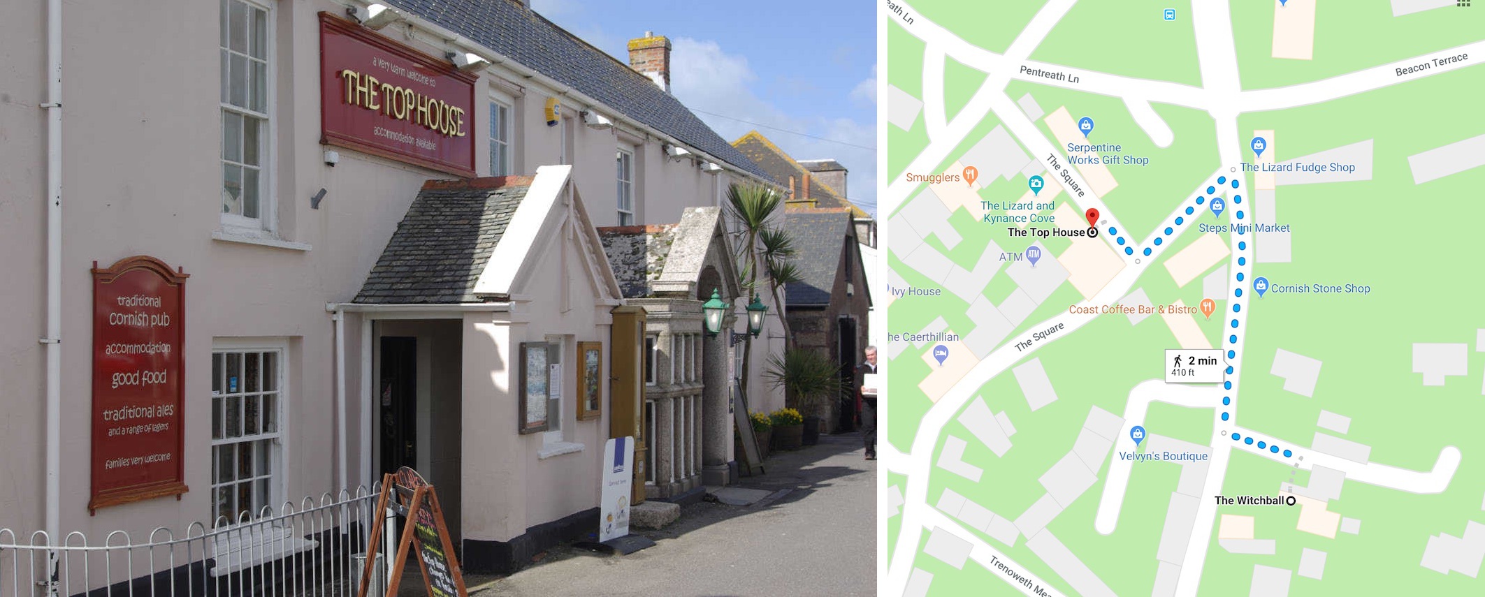
From the Witchball, it's a two minute walk over to The Top House Inn, the second stop on the tour. They write "please feel welcome to bring your dog into the bar where we also have some designated dog friendly dining areas", so do drop by.
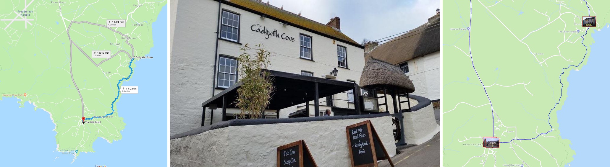
After wandering around all of the United Kingdom, we end up back in Cornwall at the Cadgwith Cove Inn for the 49,687th and final pint. To wrap up the tour, take a nice hour-long walk along the coast to return to the Witchball.
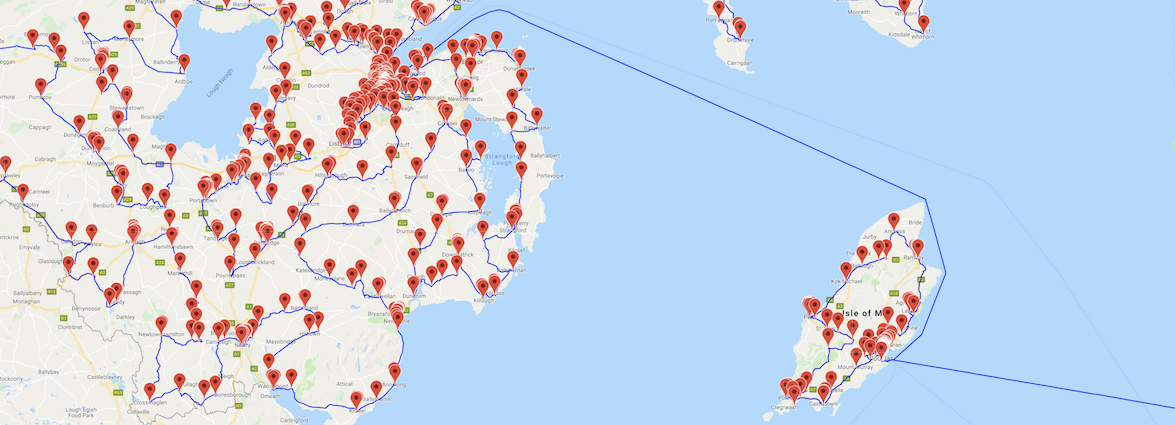
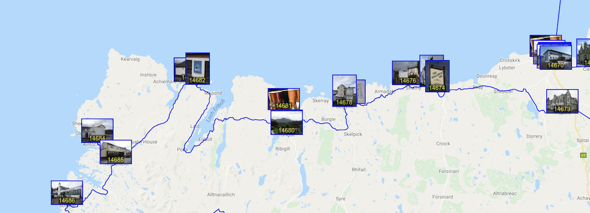
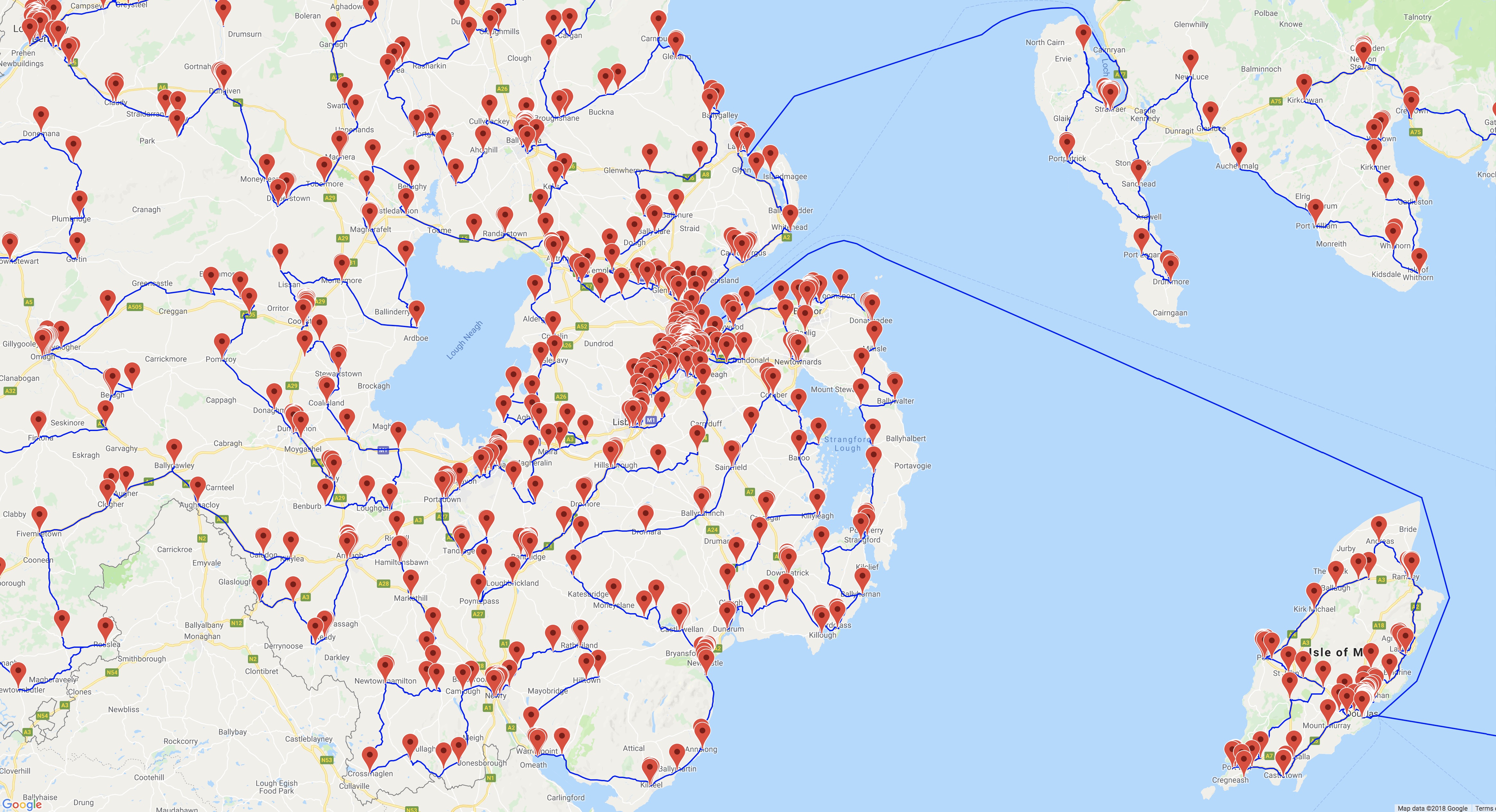
If you have a good connection to the Internet, the best way to view the pubs tour is to load the Google Maps drawing. The interactive map allows you to zoom in and pan around to see details and zoom out to get the big picture. But please note that there is a lot of information packed into the map and it can be slow at responding to some commands. Allow me to offer a few tips on how to navigate around the tour.
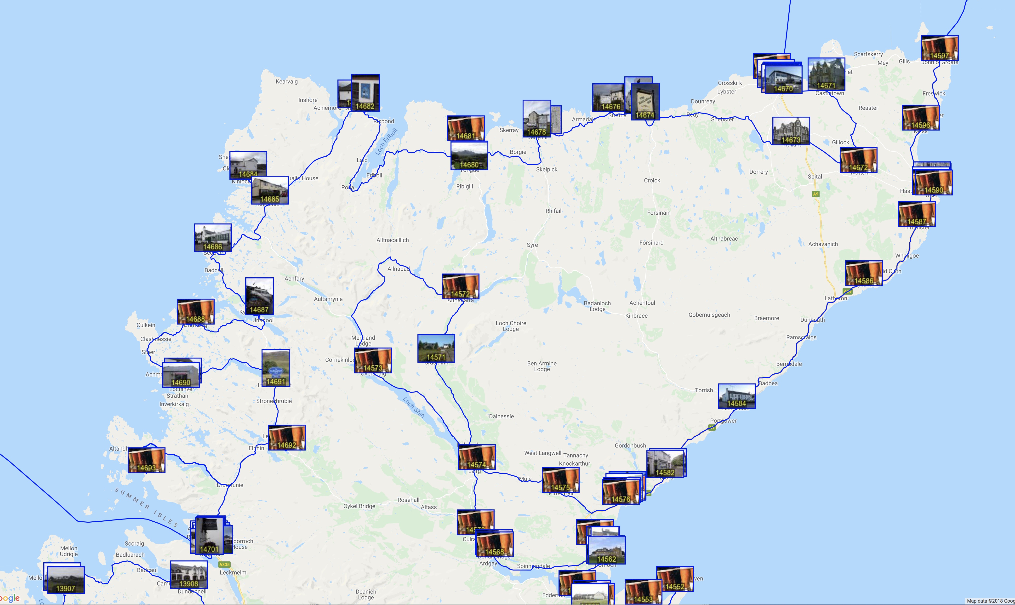
A screenshot of the map is given below. The markers indicate the locations of the pubs and the blue lines show the route. If you zoom out too far, the map needs to draw thousands of markers and lines. This is fine, if you have a bit of patience, but panning the zoomed-out view can be painfully slow. To move around, I suggest using the city buttons on the right-hand-side. Clicking one of the buttons will change the view to that city center.
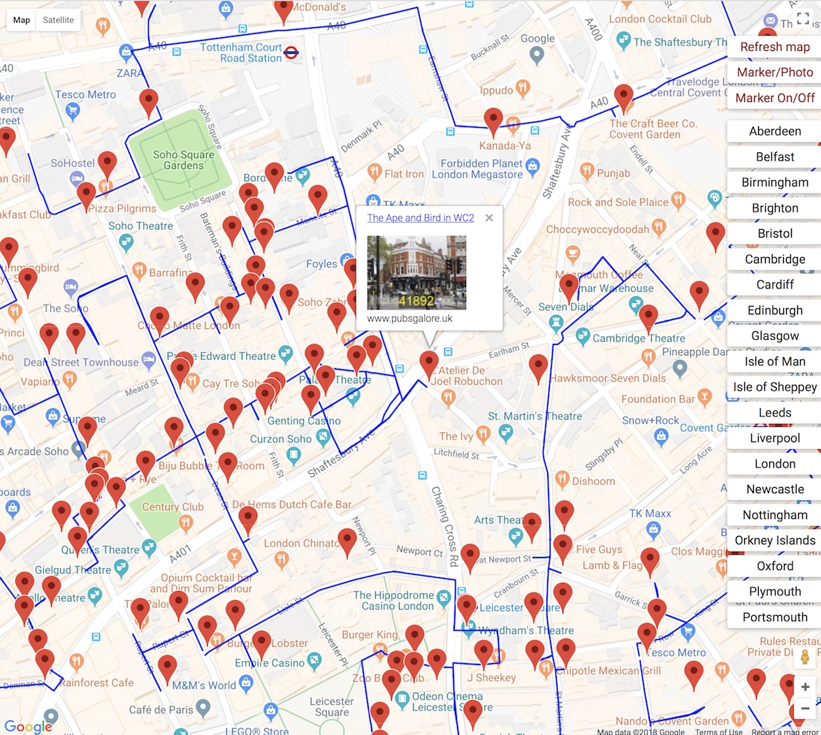
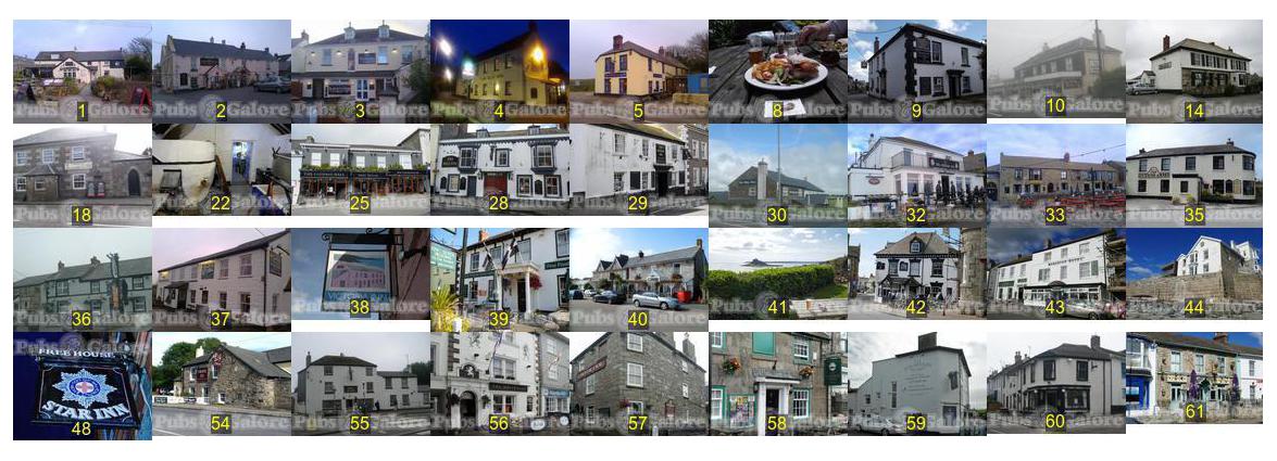
If you are zoomed in on a region, then you might want to click the Marker/Photo button. This will replace the standard markers will thumbnail images. The number on the bottom of each image indicates the pub's position in the tour. Click the Marker/Photo button again to return to standard markers.
If you click on either type of marker, an information box will appear that includes a link to the Pubs Galore page for the pub.
To see a line drawing without the markers, click the Marker On/Off button. It will take a few seconds for the map to update.
If you find that the map tiles are not appearing, then try clicking the Refresh Map button on the top right. This will toggle the "Terrain" view of the map and it should trigger a reload of the tiles. If that fails, then please reload the map using your browser.
If you have a fast machine, loaded with memory and high-end graphics hardware, then please have a look at a Google Map displaying the full tour. Once this one loads, you should be able to zoom and pan quite easily.
On the other hand, if you have trouble loading the interactive map, please try the regional maps displayed below. These maps contain a much smaller number of markers and paths and should load fine, even on phones and tablets.
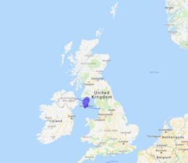
Menu links for Douglas, Castletown, Peel, and Ramsey.
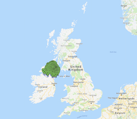
Menu links for Belfast, Enniskillen, Londonderry, and Portrush.
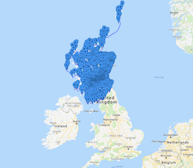
Menu links for Aberdeen, Edinburgh, Glasgow, and the Orkney Islands.
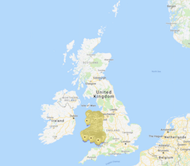
Including menu links for Cardiff, Holyhead, Newport, and Swansea.
Including menu links for Carlisle, Leeds, Liverpool, and Newcastle.
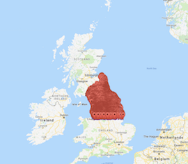
Including menu links for Birmingham, Cambridge, Nottingham, and Oxford.
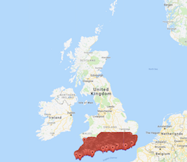
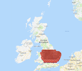
Including menu links for Brighton, Bristol, Isle of Sheppey, London, Plymouth, and Portsmouth.
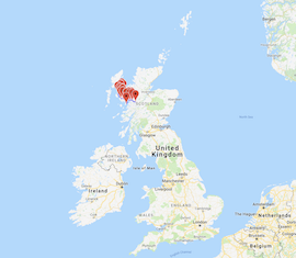
Including menu links for Broadford, Kyleakin, Portree, and Uig.
In 39 seconds you can see the tour sweep around the UK visiting the 49,687 stops.
This 15-second video shows the how the pubs are picked up as the tour moves through the south of England.