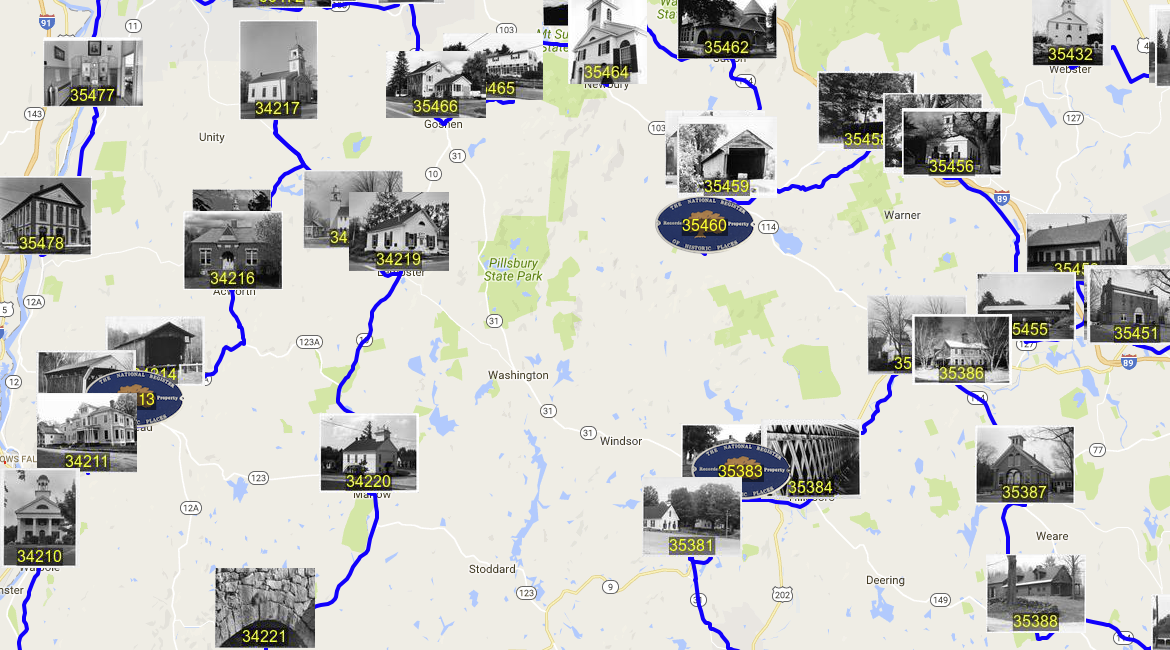
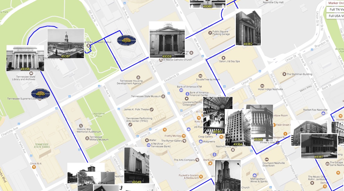
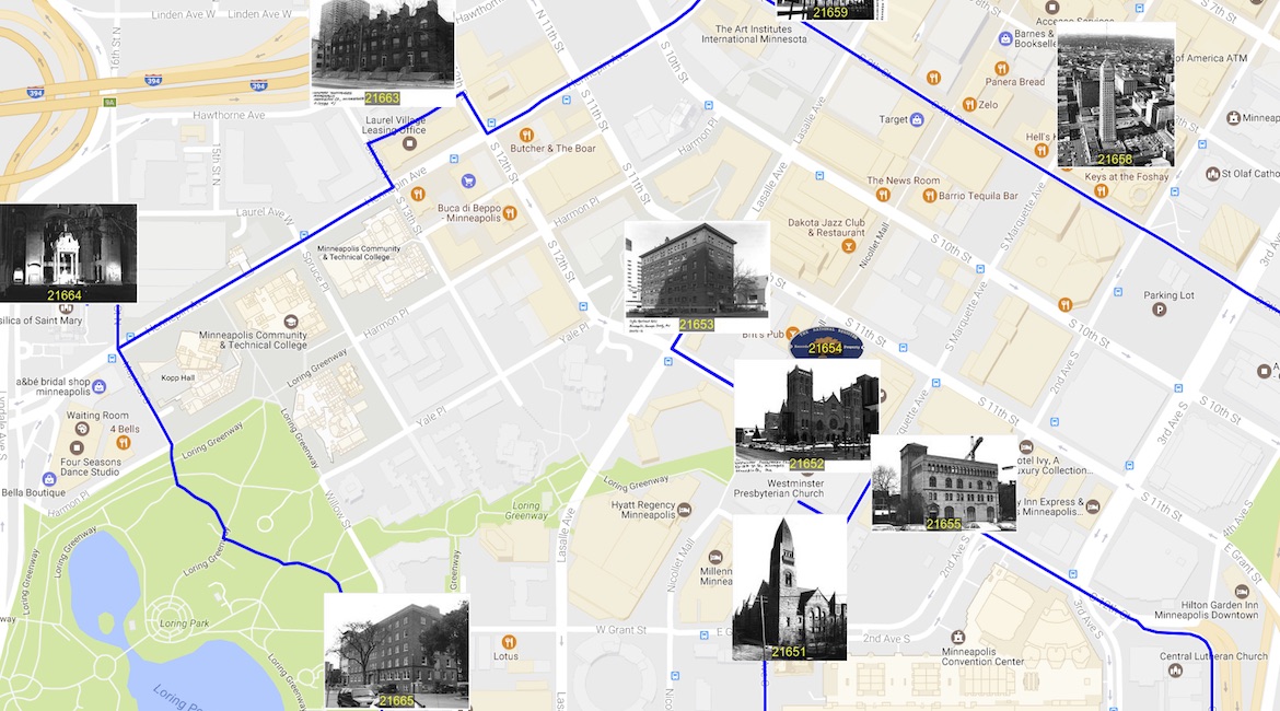
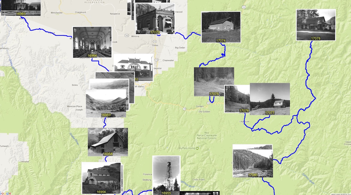
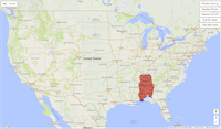
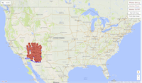
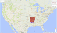
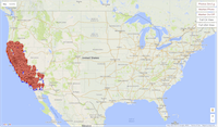
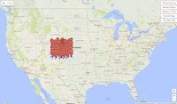
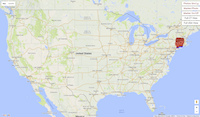
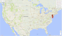
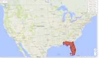
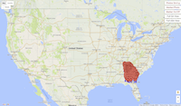
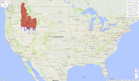
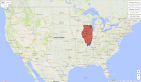
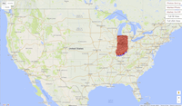
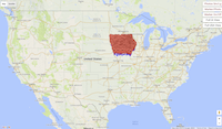
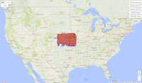
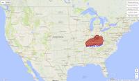
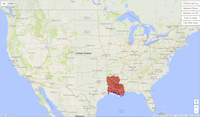
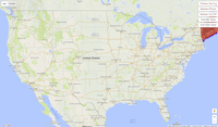
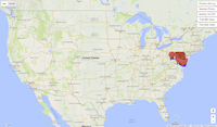
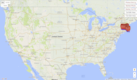
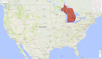
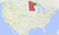
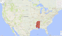
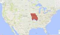
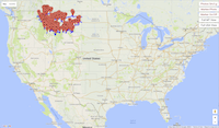
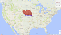
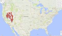
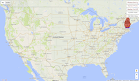
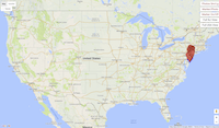
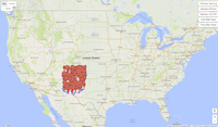
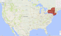
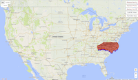
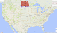
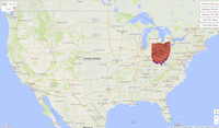
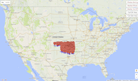
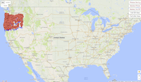
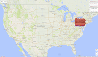
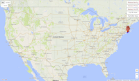
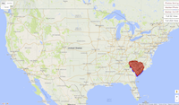
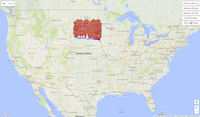
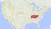
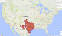
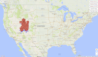
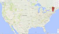
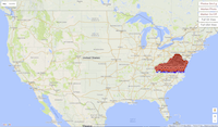
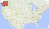
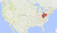
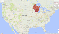
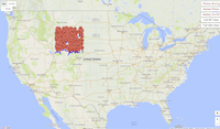
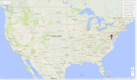
The US history tour visits 49,603 sites. That's a lot of markers and routes to crowd into one map. To help out your browser, you can find below snapshots of the tour as it passes through each of the lower 48 states and Washington, DC.
Each of the snapshots is an interactive Google Map, allowing you to pan, zoom, and click, click, click.
The files are small enough that they should load fine on any machine, including tablets and smart phones.
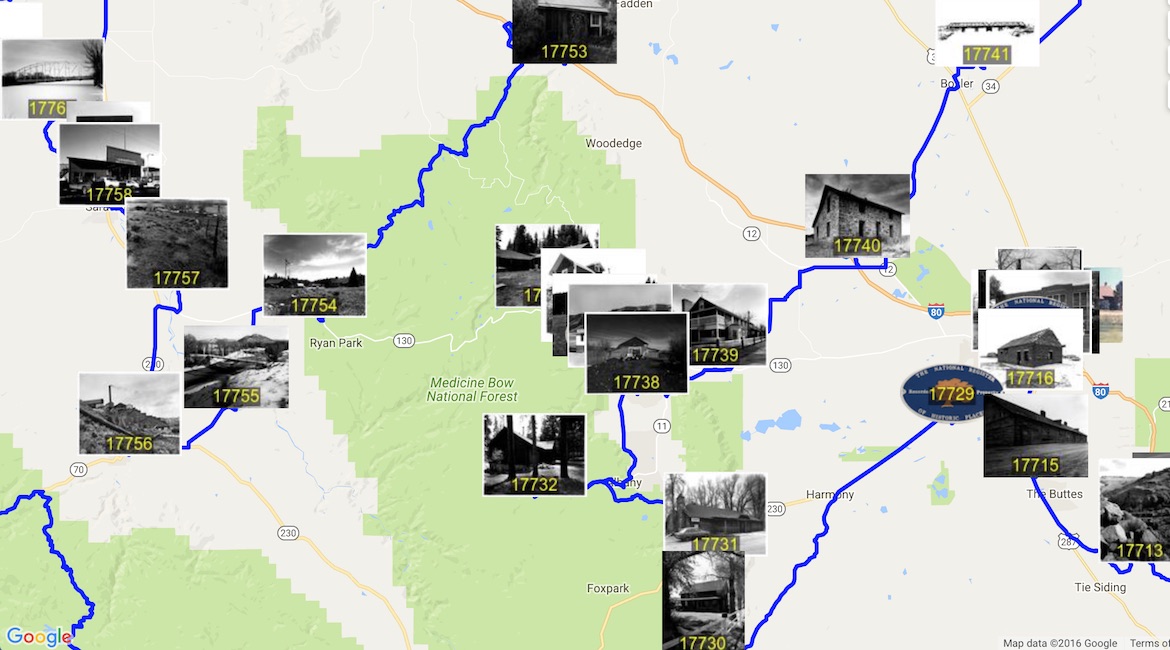
About half of the places have photos in the National Register data base. We use these as markers for the locations, adding a number at the bottom of each photo to indicate the site's position in the tour.
At the top right corner of each page, you will find five buttons. Clicking the "Photos Sm/Lg" button will change the size of the photos that are used to indicate the sites. The "Marker/Photo" button allows you to switch from photos to standard markers. To remove all markers, click the "Marker On/Off" button. Clicking the "Full View" button will zoom out the map to give you a view of the full state, and clicking the "Full USA View" will zoom out to the full country.
Note that the US tour will pass in and out of each state a number of times, so the individual maps may contain several paths to cover the states historic sites.