The optimal tour to visit our 24,727 UK pubs has total length 45,495,239 meters. That is a bit longer than the Earth's circumference, but you'll find more food and drink along the proposed route than you would during a lap around the equator.
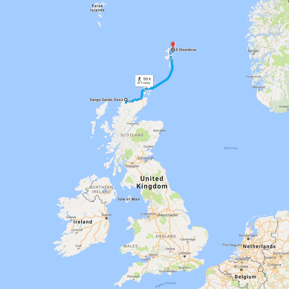
On average you can pop into a pub every hour or so, but there are some long legs in the tour. The longest being a 435 kilometer stretch from the Sango Sands Oasis in Durness to the Bells But & Ben in Shetland. That is a 50-hour trip, but it includes two ferry rides where you can refuel: "All three NorthLink Ferries ships to Shetland and Orkney have beautiful onboard bars serving a wide range of draught beers, continental lagers, wines and spirits along with teas, coffees and tasty snacks."
On the front page I wrote that there was not much to learn about the optimal tour by viewing a list of the pubs, one after another, in the correct order. If you are living in the UK, however, the full list is the best way to see where your local pub fits into the big route. So here is the order of the pubs as a text file.
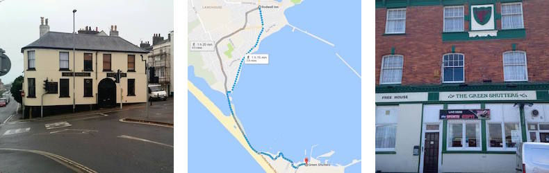
The tour is circular, so a traveler could start at any point. In our list, the 1st pub is The Green Shutters in Portland and the final, 27427th, pub is The Rodwell in Weymouth, its neighbor to the north.
If you have a good connection to the Internet, the best way to view the pubs tour is to load the Google Maps drawing. The interactive map allows you to zoom in and pan around to see details and zoom out to get the big picture. But please note that there is a lot of information packed into the map and it can be slow at responding to some commands. Allow me to offer a few tips on how to navigate around the tour.
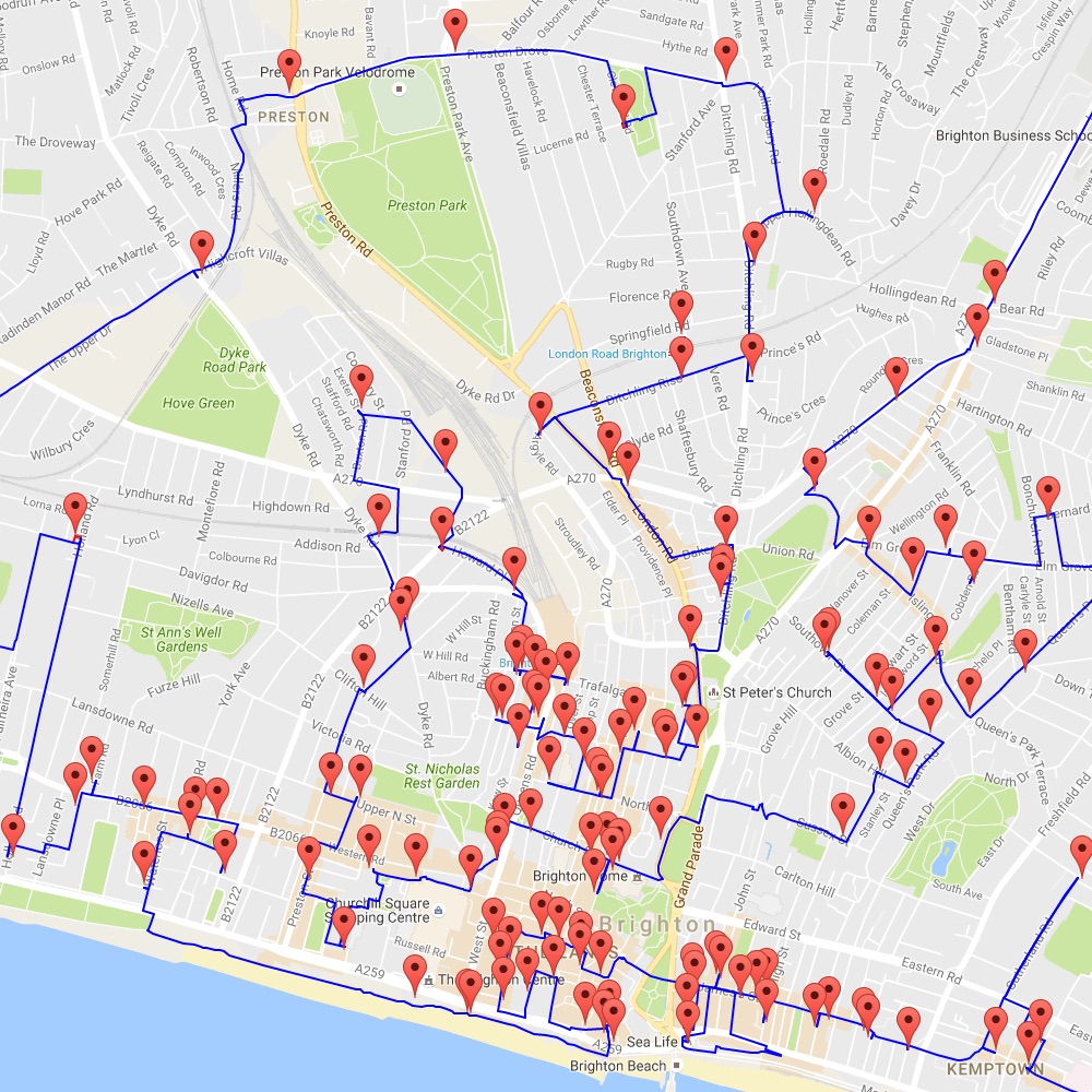
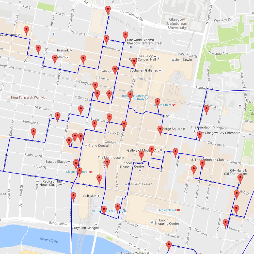
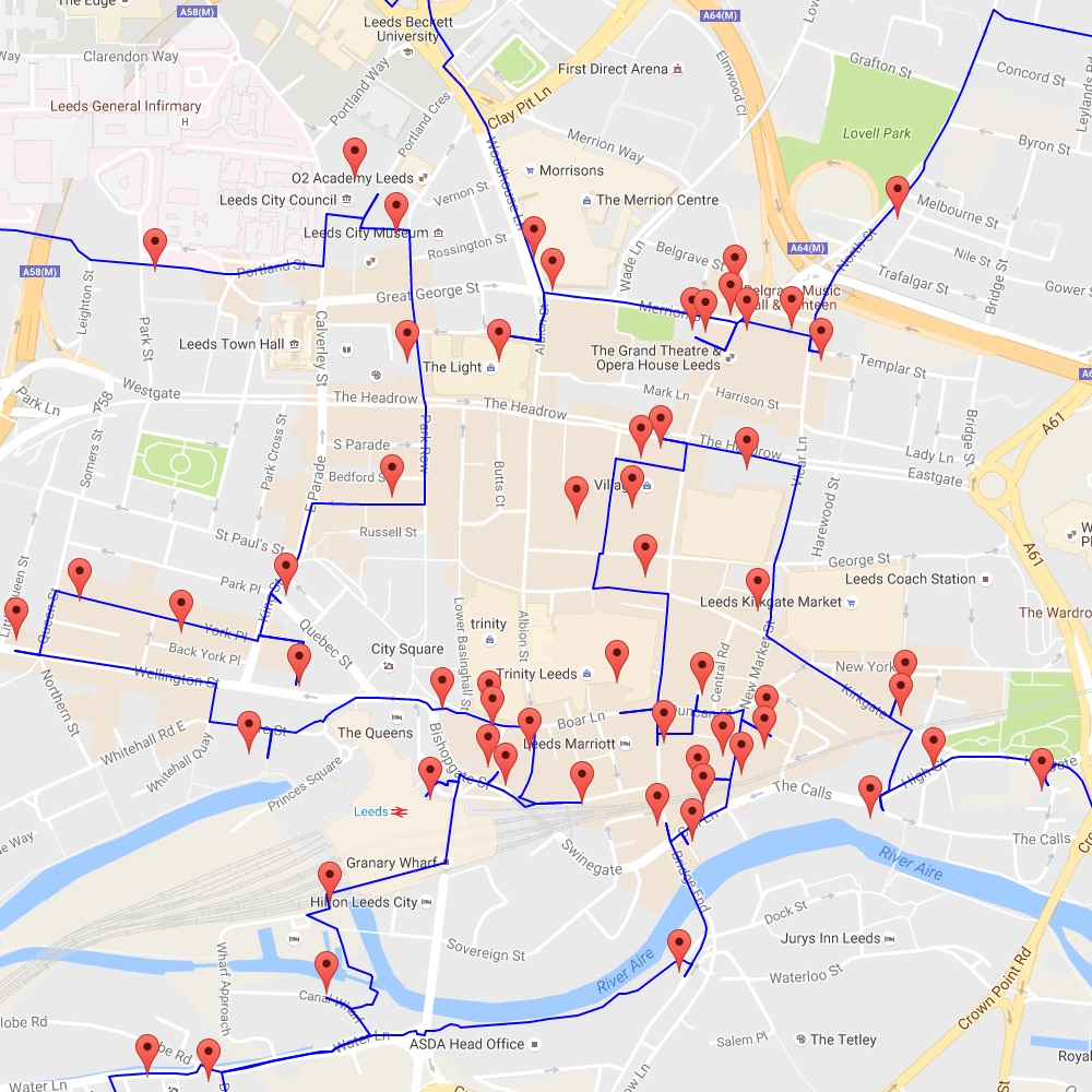
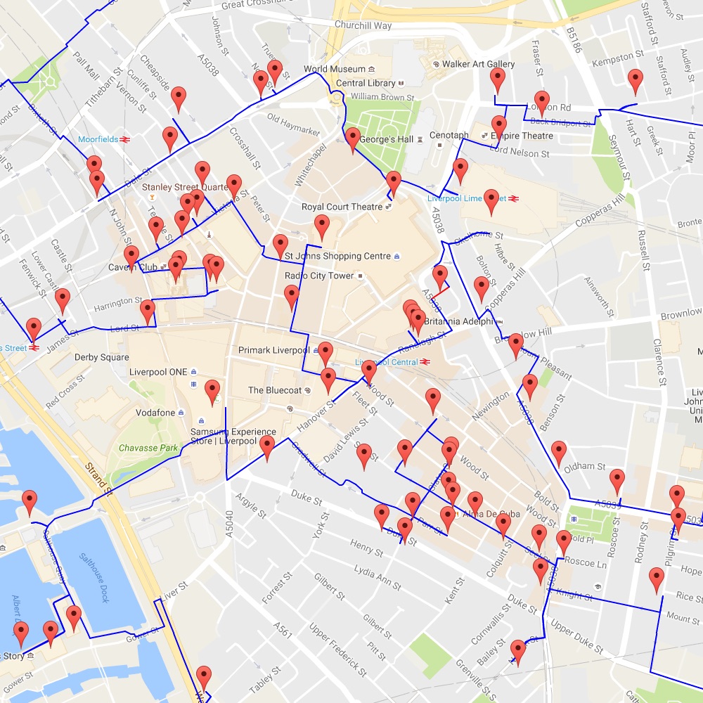
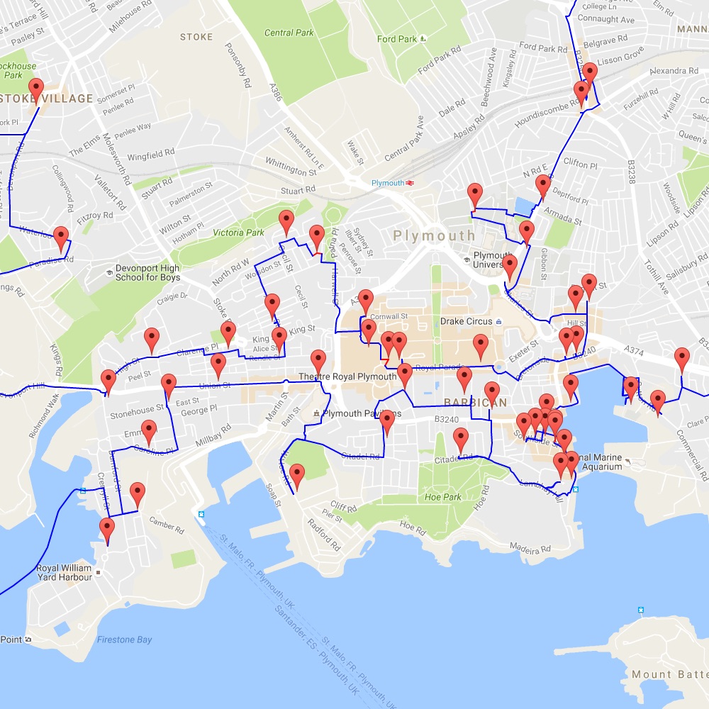
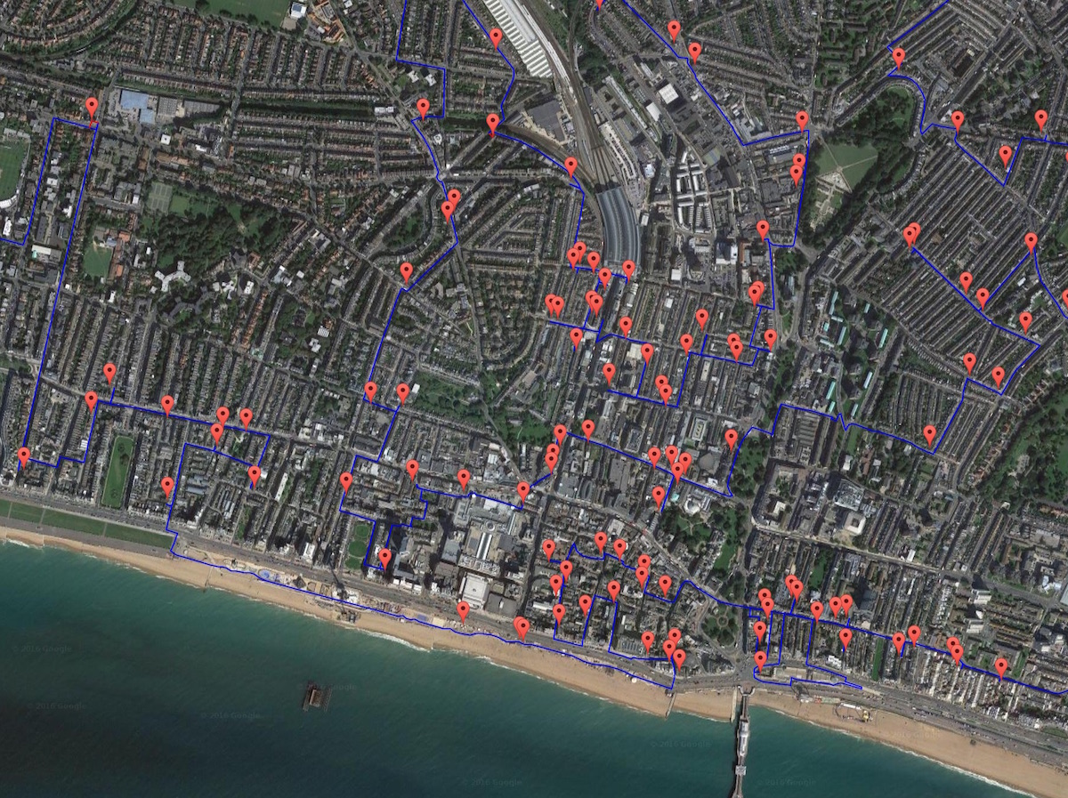
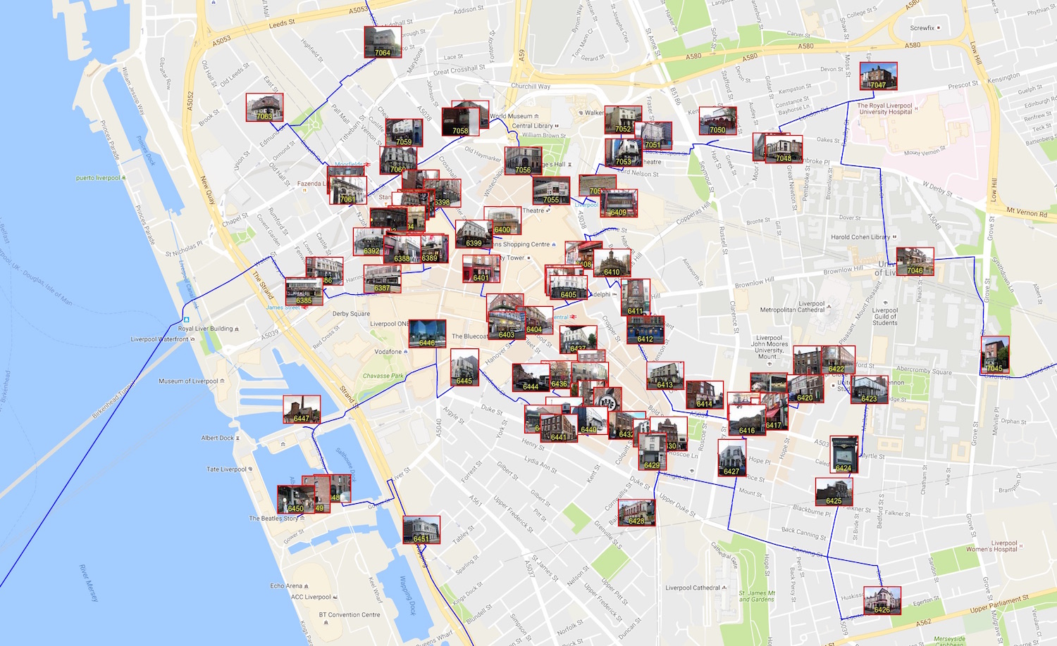
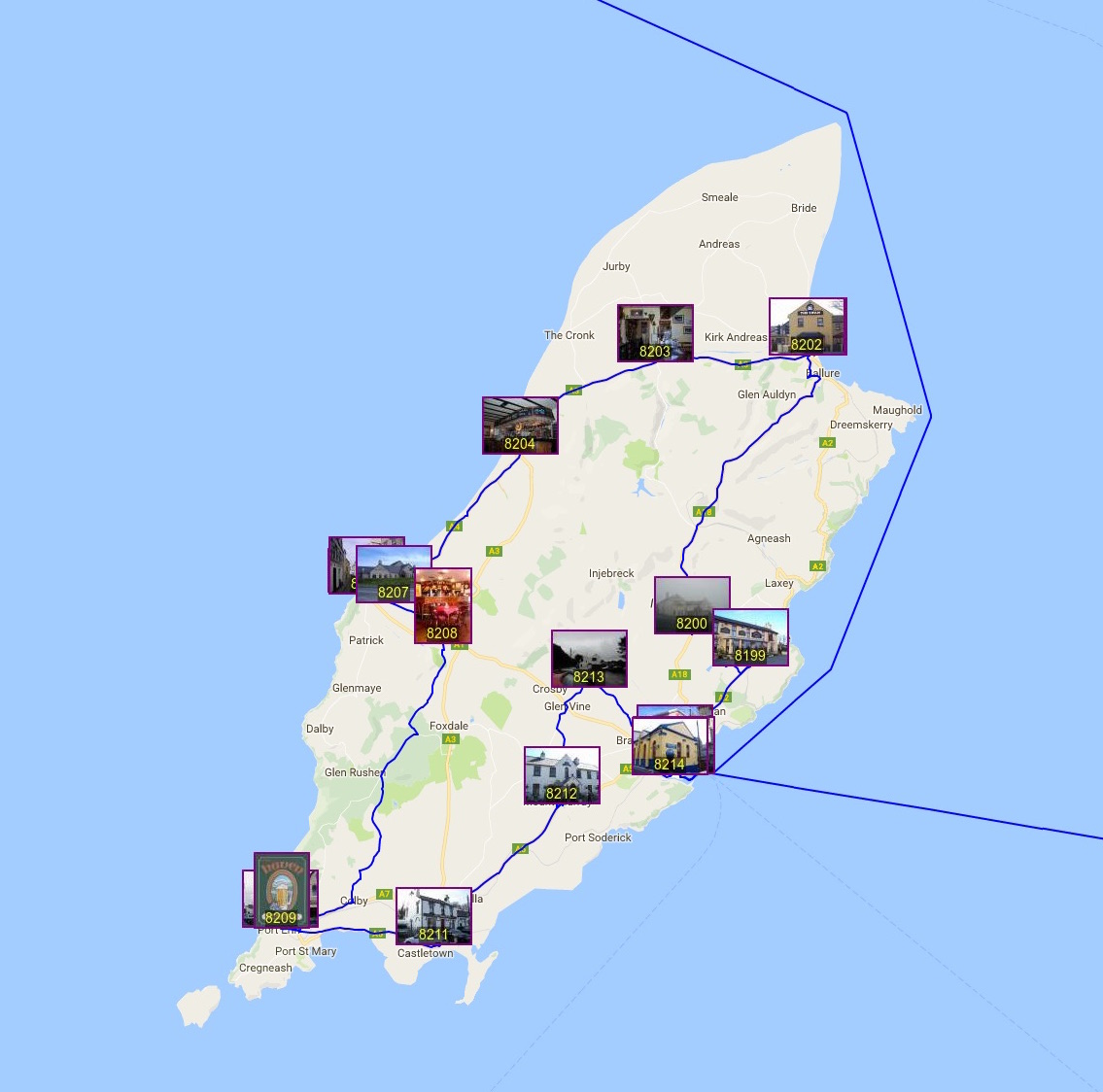
A screenshot of the map is given below. The markers indicate the locations of the pubs and the blue lines show the route. If you zoom out too far, the map needs to draw thousands of markers and lines. This is fine, if you have a bit of patience, but panning the zoomed-out view can be painfully slow. To move around, I suggest using the city buttons on the right-hand-side. Clicking one of the buttons will change the view to that city center.
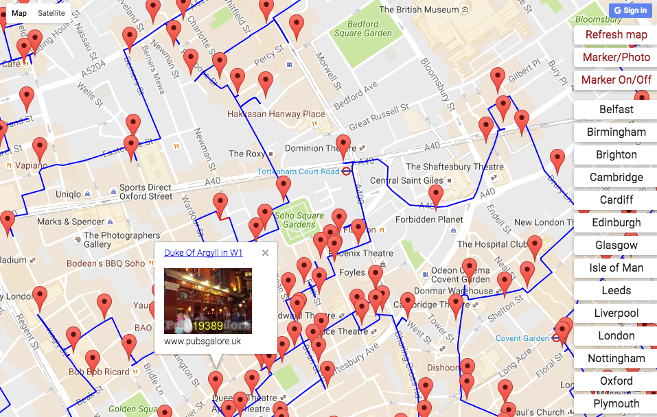
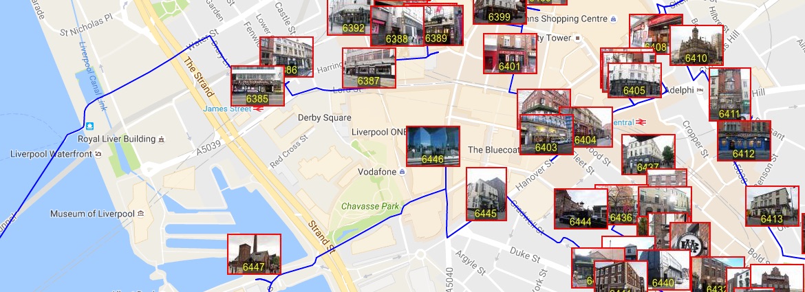
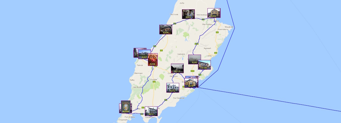
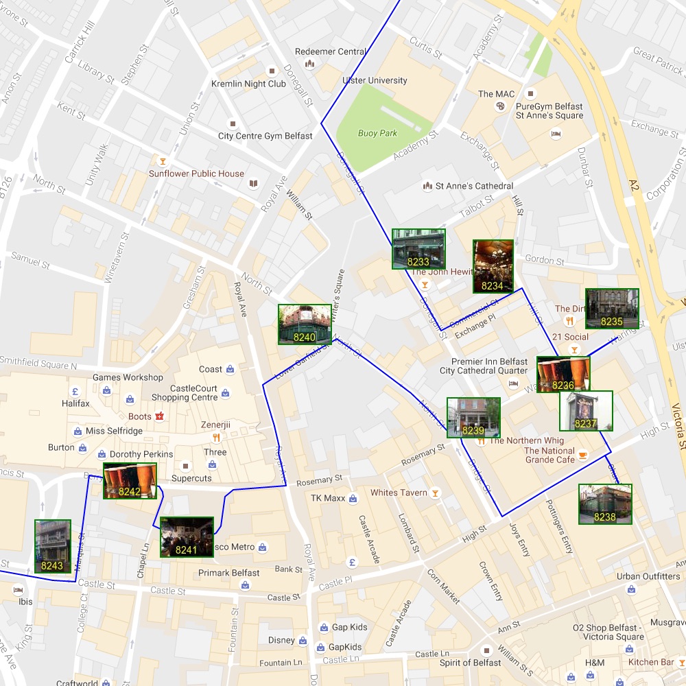
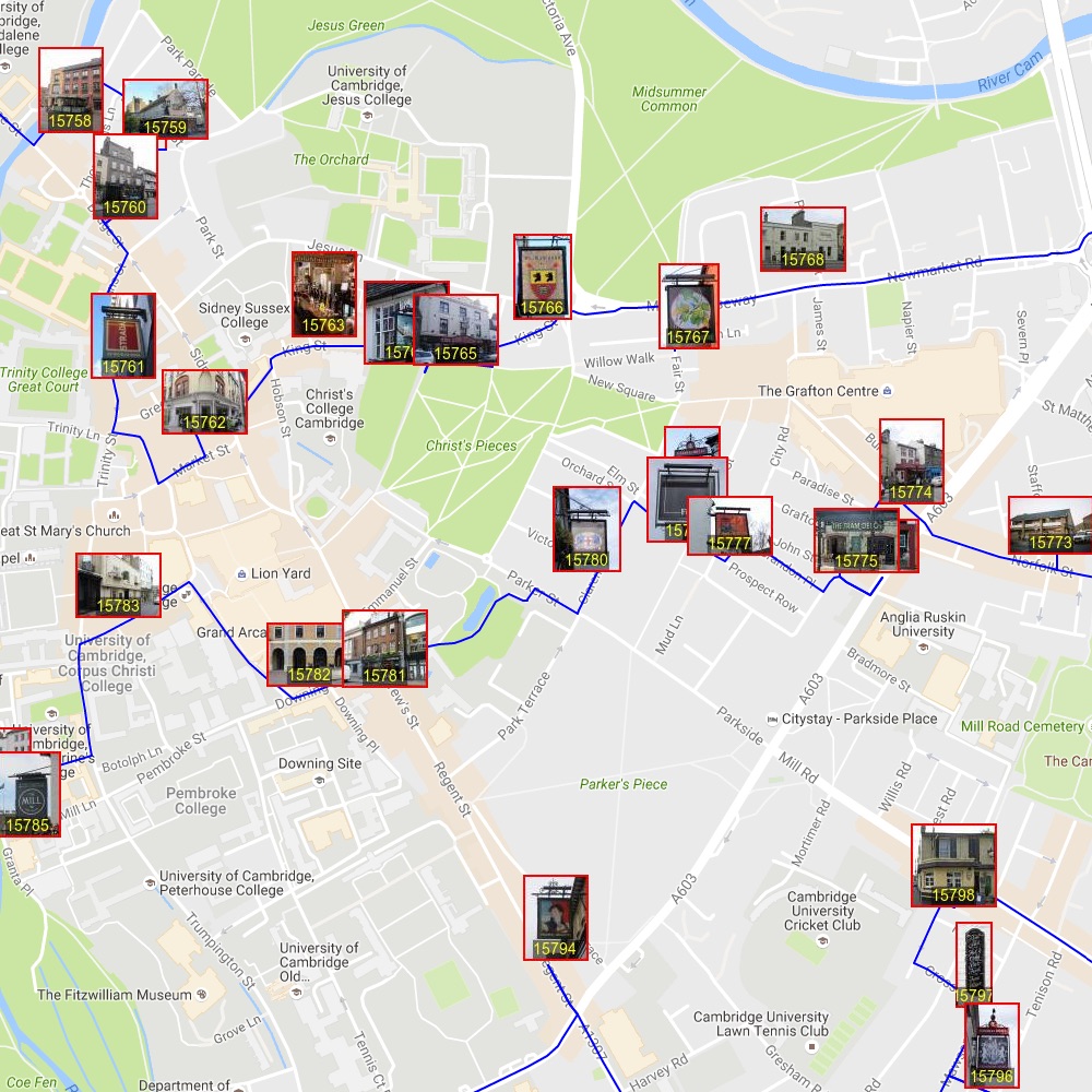
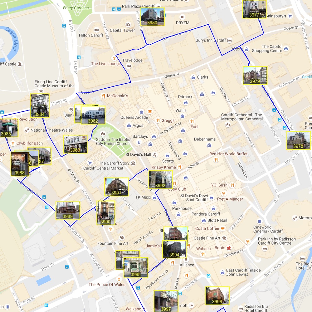
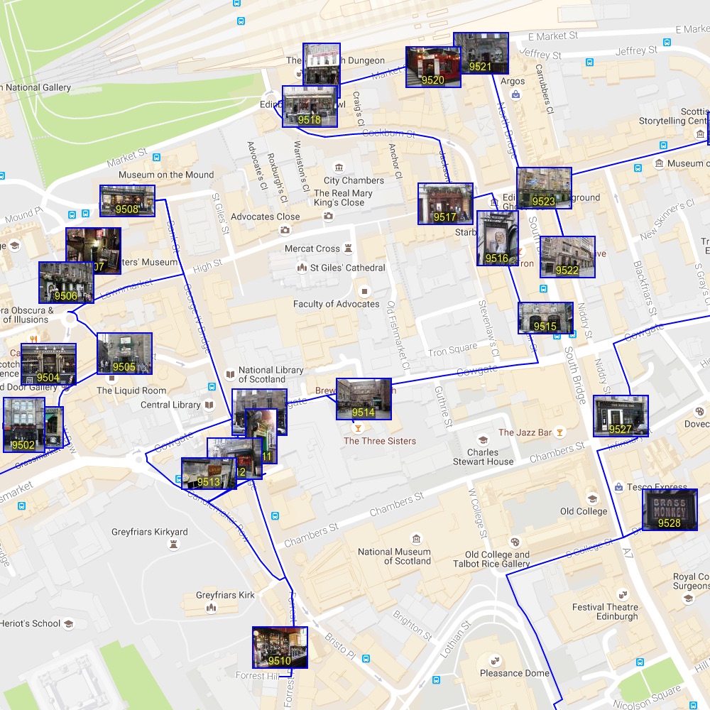
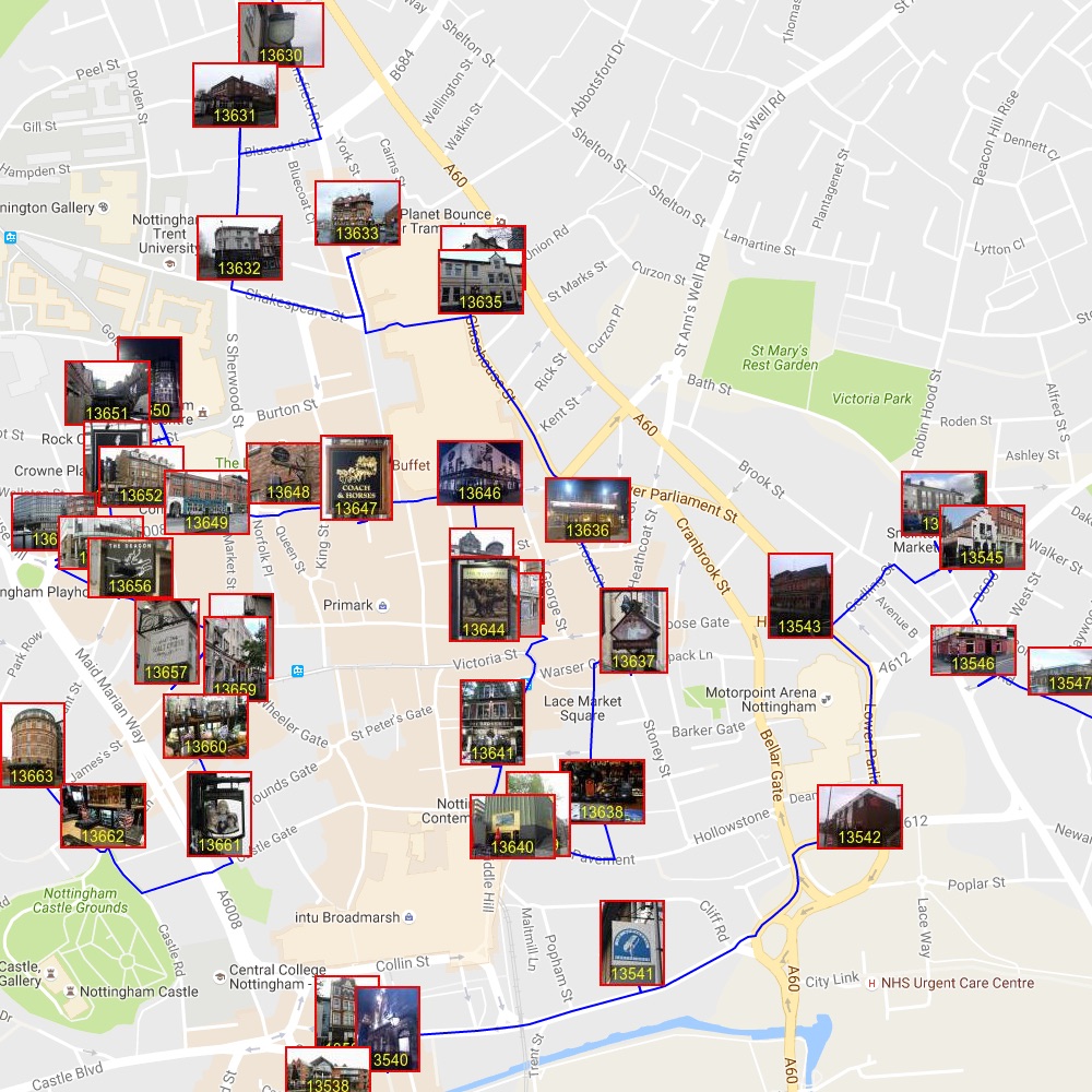
If you are zoomed in on a region, then you might want to click the Marker/Photo button. This will replace the standard markers will thumbnail images. The number on the bottom of each image indicates the pub's position in the tour. Click the Marker/Photo button again to return to standard markers.
If you click on either type of marker, an information box will appear that includes a link to the Pubs Galore page for the pub.
To see a line drawing without the markers, click the Marker On/Off button. It will take a few seconds for the map to update.
If you find that the map tiles are not appearing, then try clicking the Refresh Map button on the top right. This will toggle the "Terrain" view of the map and it should trigger a reload of the tiles. If that fails, then please reload the map using your browser.
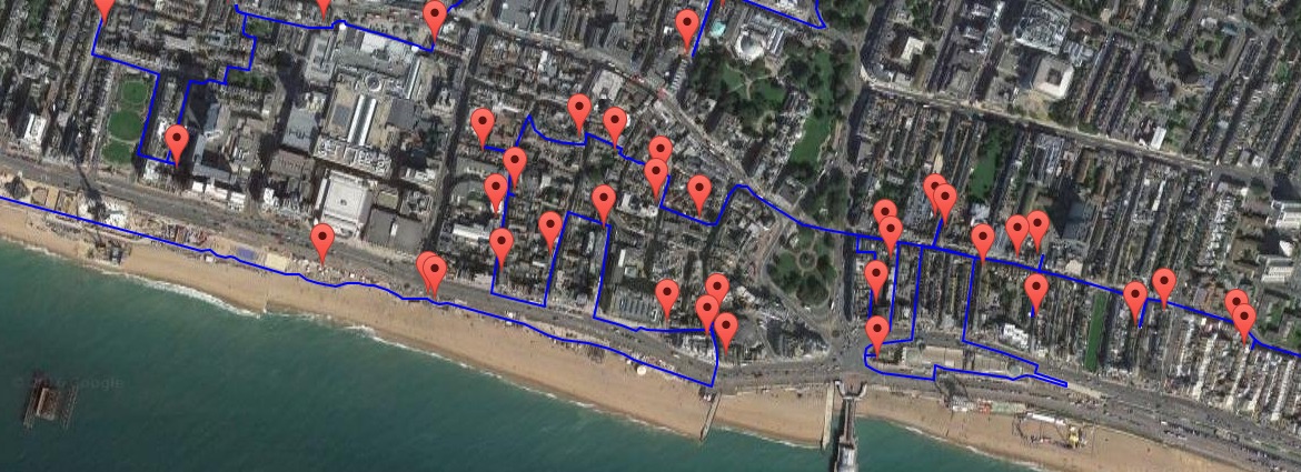
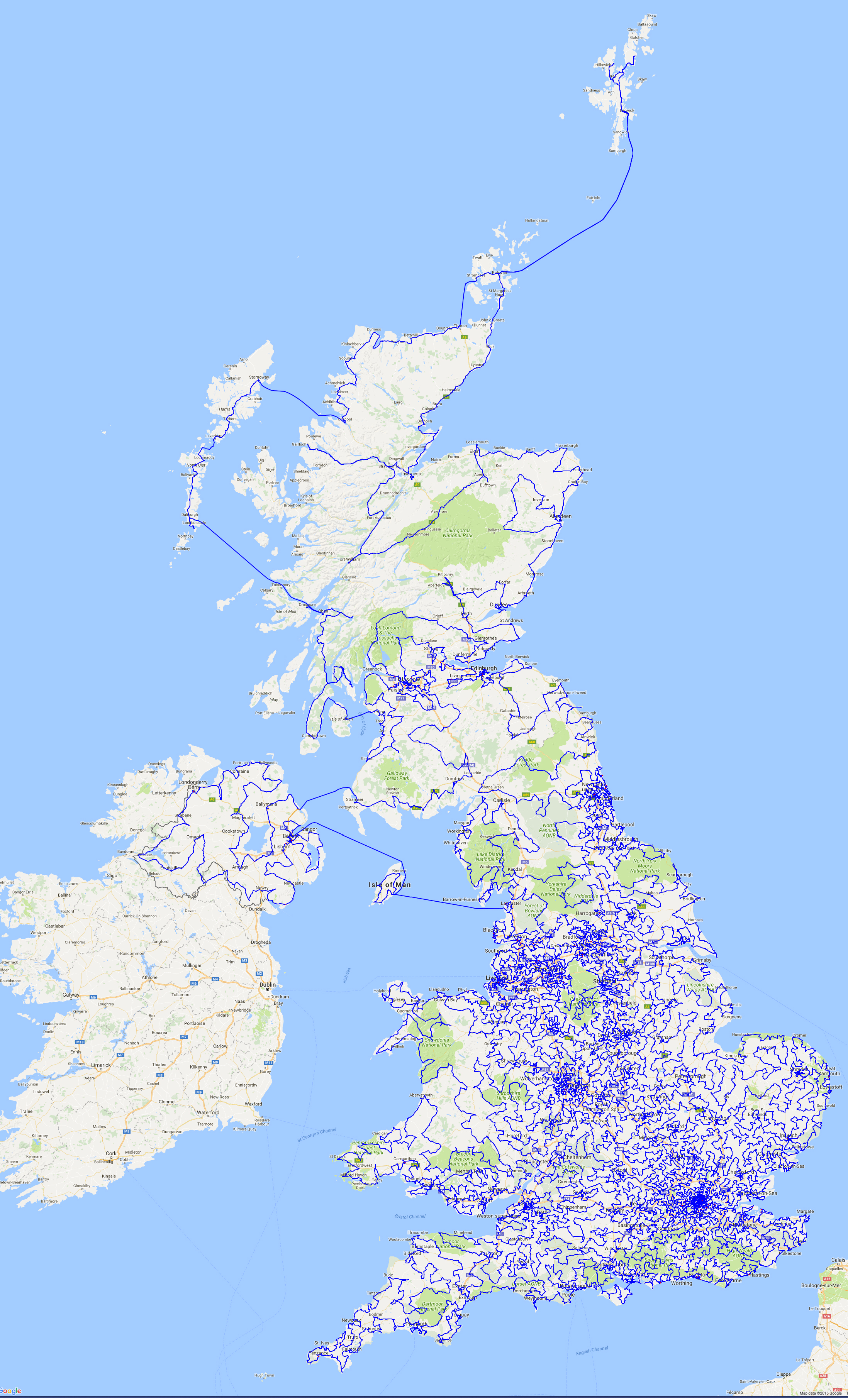
In case you have trouble loading the interactive map, here is a line drawing of the tour and below are views of the route passing through major cities. Clicking on an image will display a large screenshot taken from the map.

