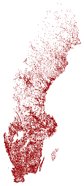
In the Sweden TSP instance the city locations are specified by their latitude and longitude (scaled by 1000); the distance between the cities is the Euclidean distance rounded to the nearest integer (the TSPLIB EUC_2D-norm).
We use the Lambert Conformal Conic Projection to map the city locations in the plot given below.
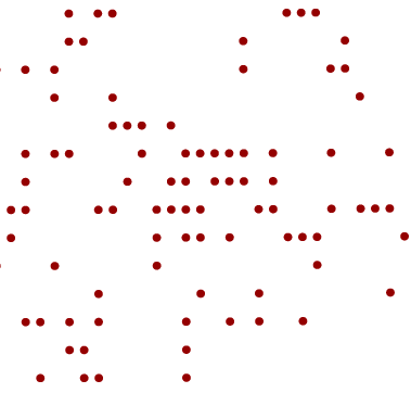
The original data set for the city locations appears to have approximations that puts points in some regions of the map on straight lines, as can be seen in the following zoomed plot.